Mancos Trails Group
  • Home
  • About
    • MTG Board
    • Projects
  • News
  • Trail Information
    • Mancos Spur Trail
    • Chicken Creek Trail System
    • Aqueduct Trail System
    • Transfer Area >
      • Rim Trail
      • Transfer Trail
      • Chicken Creek Trail
      • West Mancos Trail
      • Sharkstooth Trail
      • Gold Run
    • Echo Basin >
      • Rampart Hills
      • Box Canyon Trail
      • Coyote Park
      • Owen Basin Trail
      • Red Arrow Road to Hogsback
    • Madden Peak >
      • Upper Madden Peak
      • Railroad Grade
      • Old Gold Run/ Starvation Creek
    • Menefee Mountain
    • Mancos State Park
    • Gravel riding
    • Winter Recreation >
      • Snow Biking
      • Cross Country Skiing
  • Get Involved!
    • Events
    • Trail Adoption Program >
      • Mancos Spur Trail segments
      • Trail Adopters Checklist
    • Trail Maintenance
  • MTG Store

Rampart Hills

Picture
Picture
Picture
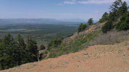
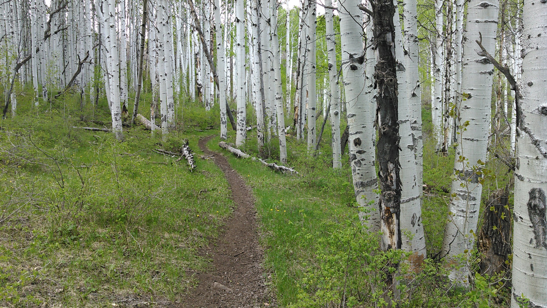
 There are many ways to ride this loop which make it very fun. Don't be fooled by the mileage. This is a burly ride with steep, loose climbs and fast rocky descents.  This loop can be ridden in either direction. Both trails are very challenging climbs aerobically. Both downhills are fast with rock gardens. If you are looking for a easier climb up to the Ramparts consider taking the more gradual Coyote Park Trail up to FS 329 to access the Rampart Hills from the top.

From the  junction of FS529 and CR44:  
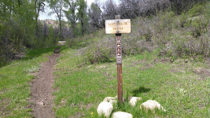
Head north on FS529 for 2 miles until you see the trail entrance on the right. This will take you uphill to the top of the Ramparts.

​ 
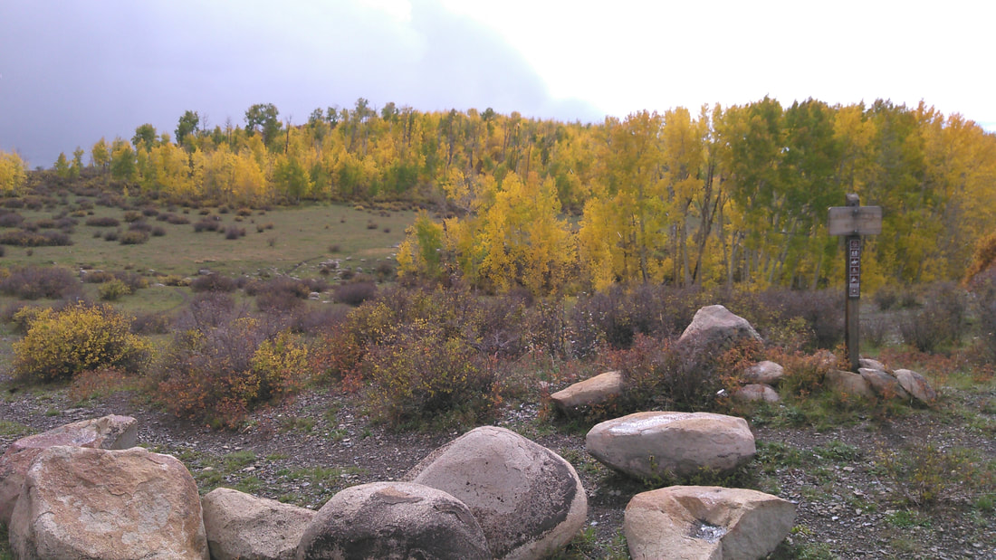
From the T Down Corral at the intersection of  FS331 and FS566: 
Follow dirt road heading straight past this intersection until you reach a turnaround. There is a Rampart Trail trailhead/sign on the north side of the turnaround that will take you downhill.


Picture
Picture
Picture
Rampart Hills on Trailforks.com
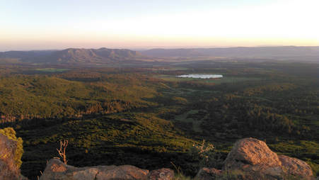
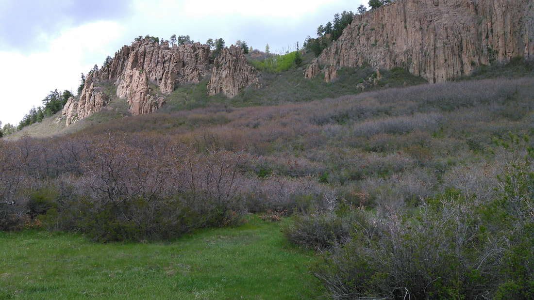
From T Down Corral, head west and stay left to access the top of the Rampart Hills and views of Montezuma County.
Picture
Picture
Powered by Create your own unique website with customizable templates.
  • Home
  • About
    • MTG Board
    • Projects
  • News
  • Trail Information
    • Mancos Spur Trail
    • Chicken Creek Trail System
    • Aqueduct Trail System
    • Transfer Area >
      • Rim Trail
      • Transfer Trail
      • Chicken Creek Trail
      • West Mancos Trail
      • Sharkstooth Trail
      • Gold Run
    • Echo Basin >
      • Rampart Hills
      • Box Canyon Trail
      • Coyote Park
      • Owen Basin Trail
      • Red Arrow Road to Hogsback
    • Madden Peak >
      • Upper Madden Peak
      • Railroad Grade
      • Old Gold Run/ Starvation Creek
    • Menefee Mountain
    • Mancos State Park
    • Gravel riding
    • Winter Recreation >
      • Snow Biking
      • Cross Country Skiing
  • Get Involved!
    • Events
    • Trail Adoption Program >
      • Mancos Spur Trail segments
      • Trail Adopters Checklist
    • Trail Maintenance
  • MTG Store